US: Adverse Weather Expected for the Southern and Southeastern Regions This March

Introduction
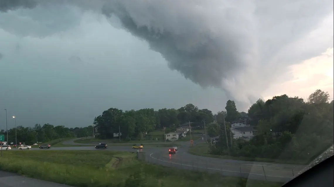
Severe weather is expected across regions of the South as well as the Southeast until at least March 10. A storm system is predicted to travel east across the region in the coming days, bringing heavy rain and thunderstorms. This thunderstorm news update is crucial for residents in these areas. Storms may be accompanied by high winds, lightning, hail, and even tornadoes. Heavy rains may create flooding in low-lying areas, while high gusts can cause property damage and power outages.
Flood Warnings and Weather Updates by NWS
As of March 7, the US National Weather Service (NWS) had released flood warnings for areas of central Alabama, as well as northern and central Georgia. The NWS offices in Fort Worth, Twin Cities, and San Diego have released statements regarding the potential impacts in their respective areas, highlighting the importance of staying informed through thunderstorm news updates. Authorities are expected to issue fresh alerts or update/rescind existing cautions as weather conditions change in the following days.
Heavy Rainfall and Flood Risk Assessment
The NWS’s Weather Prediction Center has forecasted a minor chance of heavy rainfall (the second lowest category on a four-tier scale) over regions of east-central Texas, March 7–8. This thunderstorm news should be closely monitored. Excessive rainfall poses a moderate risk in central and eastern Alabama, and central and western Georgia, with a slight risk in much of Mississippi and Alabama, as well as regions of Southeastern Arkansas, northwestern South Carolina, and western North Carolina, along with northeastern and southeastern Louisiana, and northern and central Georgia constitute the specified regions, March 8–9.

Implications for Infrastructure and Transport
Sustained high rainfall may cause floods in low-lying towns near rivers, streams, and creeks. Urban flooding is also likely in developed regions with overburdened stormwater drainage systems. Sites downstream from big reservoirs or rivers may experience flash floods during brief periods of heavy rainfall. Landslides are conceivable in hilly or mountainous terrain, particularly if excessive rainfall saturates the soil. The NWS Fort Worth, NWS Twin Cities, and NWS San Diego offices may issue emergency evacuation orders for flood-prone communities in the following days. Significant flooding or landslides that harm utility networks are likely to cause disruptions to electricity and telecommunications services.
Travel Advisories and Safety Recommendations
The extreme weather is likely to cause transportation problems throughout the region. Floodwaters and debris flows may make some bridges, rail lines, or roadways inaccessible, limiting overland transport in and around impacted areas. The latest thunderstorm news and updates from the NWS Fort Worth, NWS Twin Cities, and NWS San Diego should be monitored for the safest travel routes. Ponding on road surfaces may result in hazardous driving conditions on regional routes. Authorities will most likely temporarily restrict low-lying roadways that become overwhelmed with flooding.
Business Continuity and Emergency Preparedness
Localized business interruptions are probable in flood- or tornado-affected areas; some businesses may be unable to operate at full capacity due to facility damage, potential evacuations, and some employees’ inability to access work sites. It is therefore advised to follow local media for updated emergency and thunderstorm news. Before traveling or routing cargo through locations where severe weather is predicted, seek up-to-date weather and road conditions. Plan for probable delivery delays if routing shipments by truck through the impacted area. Don’t try to drive through flooded areas. Review your emergency preparations and be ready to flee to safety if a tornado warning is issued. Confirm your flight reservations beforehand. Charge battery-powered gadgets for the unforeseen circumstances of an extended power outage.


